
The future of the Survaying profession depends not only on technical knowledge, but also on integrity, adaptability, innovation and a commitment to public service. - Prime Minister Dr. Harini Amarasuriya
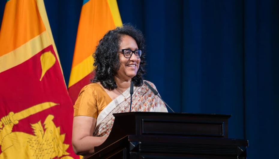
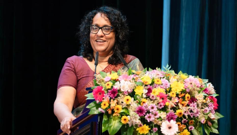
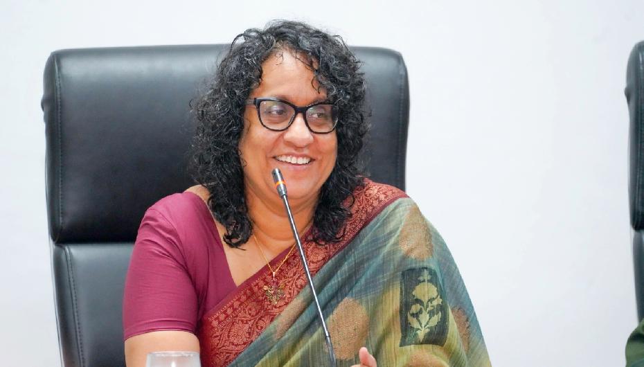
Prime Minister Dr. Harini Amarasuriya stated that the future of the surveying profession depends not only on strong technical expertise, but on a generation equipped with integrity, adaptability, innovation and a deep commitment to public service.
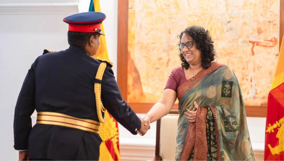
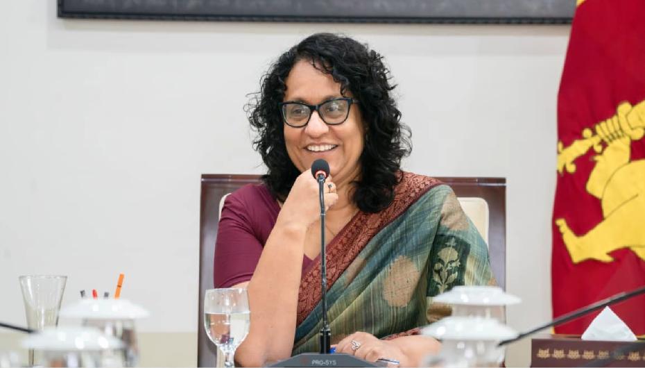
The Prime Minister made these remarks while addressing the Centenary Celebration of the Surveyors’ Institute of Sri Lanka, held in Colombo on 2 August under the theme "Beyond Boundaries, Beyond Horizons – Mapping the Future of the World."
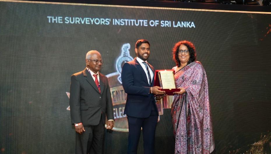
During the event, Lifetime Service Awards, the National Contribution and Entrepreneurship Award, and a Memorial Tribute Award honouring departed professionals were presented.
Addressing the occasion, Prime Minister Dr. Harini Amarasuriya further stated:
Surveying is one of the most fundamental professions underpinning a country’s development. Although much of the work carried out by surveyors remains unseen by the public, it is essential to every aspect of national progress, including sustainable development, efficient land management, infrastructure development and the successful implementation of development projects. Every well-planned city, protected forest, agricultural development initiative and secure land title is built upon the technical expertise of skilled surveyors.
The importance of the surveying profession to national development is evident through the country’s major infrastructure and irrigation projects. One of the significant event is its contribution to the Government’s land ownership programme, through which approximately 50,000 land parcels are surveyed and demarcated annually, helping to ensure secure land ownership and efficient land administration across the island.
Surveyors have also carried out surveys for more than 100 irrigation reservoirs in the Northern and North Central Provinces to support irrigation development and water resource management. The Rajarata Canal Project, which conveys water from the Moragahakanda Reservoir to Hurulu Wewa in the Anuradhapura District, includes a long underground tunnel. Throughout the excavation process, surveyors have continuously monitored the tunnel’s alignment and gradient to ensure its accuracy and compliance with engineering standards.
Their expertise is equally indispensable for major infrastructure projects, including the construction of expressways. These projects demonstrate how the precision and technical competence of surveyors ensure that large-scale national development initiatives are implemented safely and accurately.
Today, the role of a surveyor extends far beyond measuring land boundaries. Across the world, advances in satellite technology, Geographic Information Systems (GIS), remote sensing, artificial intelligence (AI), drone technology and digital mapping are transforming the way governments undertake urban planning, manage natural resources, respond to disasters and deliver public services. Reliable geospatial information has become an indispensable national asset.
As Sri Lanka moves towards economic renewal and sustainable development, we must build institutions that are efficient, transparent and digitally connected. Our Government is committed to strengthening digital governance across all sectors, including land administration. Accurate, accessible and integrated land information systems are essential for long-term national planning. Achieving this requires close collaboration between government institutions, the private sector and professional bodies such as the Surveyors’ Institute of Sri Lanka.
Climate change is increasingly affecting our society through floods, droughts, coastal erosion and other environmental challenges. As a result, the importance of geospatial science continues to grow.
The recent Cyclone Ditwah and the devastating floods that followed reminded us that the true measure of recovery is not the speed of rebuilding, but the quality, resilience and sustainability of what we rebuild. Many homes, public buildings, roads and community infrastructure suffered extensive damage, much of which was exacerbated by poor site selection, inadequate planning, weak construction standards and insufficient consideration of natural hazards.
Evidence-based planning and accurate mapping are therefore essential to building resilient infrastructure, protecting vulnerable communities and enabling informed decision-making for future generations.
I believe that the future of this profession depends not only on strong technical knowledge, but also on a generation characterised by integrity, adaptability, innovation and an unwavering commitment to public service.
Young professionals are entering a rapidly evolving field shaped by advances in geospatial technologies, artificial intelligence (AI), remote sensing, drones, satellite positioning systems, digital twins and data analytics. To remain relevant in this changing landscape, they must continuously update their technical skills while also developing the ability to collaborate effectively with engineers, planners, environmental scientists, architects and policy makers.
The occasion was attended by the Deputy Minister of Lands and Irrigation Aravinda Senarath Witharana, Member of Parliament J. A. Ruwanthilaka, the Mayor of Dehiwala-Mount Lavinia, former Additional Surveyor General Parakrama Shantha, Secretary to the Ministry of Agriculture, Livestock, Lands and Irrigation D. P. Wickramasinghe, Additional Surveyor General Bhagya Fernando, former Surveyor General Shyamali Perera, and a large gathering of members of the Surveyors’ Institute of Sri Lanka.
Prime Minister’s Media Division